|
the general situation
| ||||||||||||||||||||||||||
| Glencoe Webcams
 Nevis Webcams
Lowther Hill Cams

|
Lift served mountain biking returns to the Lecht this weekend... This Report for the Scottish Highlands was issued at
19.09hrs Friday 17th July 2026. The CairnGorm Ski Road is closed at Coylumbridge due to wildfire, please keep out of the Glenmore Forest Park and away from Loch Morlich while fire fighting efforts continue. Linn of Dee and Linn of Quoich carparks have been closed by NTS.
Get an early West coast weather check - our Glencoe webcams are updating from around 4.20am currently.
Summer activities should be in full swing across our mountain resorts as schools in various parts of the UK break up to join Scotland on summer hols. Alas, the wildfire situation around Glenmore, Strath Nethy and CairnGorm mean all facilities on CairnGorm Mountain remain closed and are expected to do so at least through this weekend.
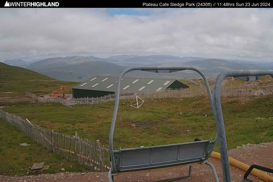
Unfortunately for those looking for help from the skies from mother nature in the form of rain, it looks like a dry and bright weekend, though some banks of cloud may drift into the Northern Cairngorms at times. This Saturday and Sunday sees lift served mountain biking return to the Lecht with rejigged mountain bike tracks and with the Grouse Poma set to provide the uplift, the launch might become a spectator sport in its own right. See Lecht website and socials for full details. In the West mountain biking season is in full swing at both Nevis Range and Glencoe, with both offering onsite accommodation, including 8 new ensuite pods at Glencoe. At Glencoe there is a couple of refreshed sections on the red bike track and the black has had a significant amount of TLC prior to the SDA / LLoyds National series race in June. There is also a brand new fleet of hire bikes that have just become available this month. The Access Chairlift is open for sighting daily from 9am to 4.15pm with last lift down at 4.30pm and the Plateau Cafe on the mountain is open for hot and cold drinks, plus light snacks daily from 11am to 4pm. The White Corries Panoramic Cafe at the base is open daily 8am to 8pm. For sightseeing the 15 to 20 minute walk to the summit of Creag Dhubh from the Access Chair is well worth doing for a fantastic 360deg panorama. The UKs highest disc golf course is also open daily. If you are on ITISON, there is a special offer for discounted chairlift tickets with free disc golf available! Summer tubing is available daily through the summer holidays at Glencoe, advisable to prebook tubing sessions to avoid disappointment as sessions do fill up during the peak holiday period: Book at http://glencoe.axess.shop . At Nevis Range from the Top of the Gondola there is a choice of 2 view point walks. The Gondola is currently open from 9.30am, with the last gondola down at 5pm during late July and August. The lower mountain bike trails are open year round and the base Cafe Bar is open daily until 10pm for refueling after evening rides. At Glenshee the Cairnwell Chairlift operates daily over the summer holidays giving views over not just the surrounding mountains but over the core Cairngorms, please purchase tickets on site on the day. Glenshee currently have an early bird offer on their early bird season passes, with a further discount for 2027 season passes bought before August: https: //booking.ski-glenshee.co.uk/booking/ :: Mountain Weather The Met Office Summit Run station (1130m) was reporting a temperature of +14.6°c with a North East wind at 7 gusting 16mph. At Tower 17 of the Gondola (650m) it was +15.5°c (the CIC Hut AWS was offline). At Tulloch Station (237m) the temperature was +22.0°c. In the East the Met Office summit weather station on CairnGorm reported +10.3°c, only temperature data available due to power outage. At Aviemore the temperature at 6pm was +19.2°c. The Met Office Cairnwell AWS reported 14.2°c with a North West wind at a mean of 21 gusting 27mph. • top of page •
:: England Club Fields Weardale: https: //skiweardale.com/ . Allenheads: http://ski-allenheads.co.uk/ . Yad Moss: https: //yadmoss.co.uk/ . Raise: https: //www.ldscsnowski.co.uk/ . • top of page •
:: Mountain Forecast Discussion Across the West Highlands, including the Nevis Range and Glencoe hills, Saturday looks dry with patchy cloud around at first, particularly near western coasts, before cloud bases lift above most summits through the day. Temperatures at Munro level will start near 7 or 8°c before rising to between 11 and 13°c during the afternoon. Northerly winds of around 10 to 15 mph will produce only a slight cooling effect on exposed tops, with little impact on walking. Visibility will be very good for most of the day, becoming excellent once any early cloud disperses, with around a 70% chance of cloud-free Munros. Sunday brings another fine day in the West Highlands. Summit temperatures will be a little higher, reaching 12 to 14°c at 900 metres, while winds ease further to just 5 to 15 mph. Any isolated morning mist west of Loch Linnhe should quickly clear, leaving most mountains free of cloud for much of the day. Visibility is expected to be excellent, and with only a light breeze the windchill will be minimal, making for ideal conditions for walking, climbing and mountain biking. The Cairngorms will also enjoy settled conditions, although northern parts of the range are more likely to see patches of cloud drifting onto the higher slopes. Temperatures on Saturday and Sunday will generally range from 10 to 14°c at Munro Level. Northerly winds of around 15 to 25 mph on Saturday, locally touching 30 mph on the highest northeastern tops, will make it feel cooler on exposed plateaux. Visibility will be very good or excellent away from cloud banks and any remaining smoke, with southern Cairngorm summits enjoying the greatest chance of remaining cloud free throughout the weekend. Looking into early next week, the settled pattern is expected to continue as high pressure remains dominant across Scotland. Most mountain areas likely to stay dry with further spells of sunshine, light to moderate winds and afternoon summit temperatures generally climbing into the low to mid-teens Celsius. The extended outlook suggests the current dry pattern may finally begin to break down later in the month, bringing an increasing chance of showers or thunderstorms, but no significant precipitation is expected during the first part of next week. • top of page •
:: Webcams and Weather Stations GLENCOE: Most webcams online and the first updated images are around 4.15am (BST). Some mountain cams are offline due to maintenance work, one camera has been temporarily relocated to the base for an additional view of the bike tracks looking towards the Kings House Hotel. The streaming webcam tour has ended for the season and will return for winter 2026/27. Temperature data is available from 3 levels. Wind speed currently available at summit and base. • top of page •
|
Glencoe Area Forecast
Monday 3rd August
FL: >Tops. Heavy Rain
914m: 10°c East 20 gust 30mph Tuesday 4th August
FL: >Tops. Heavy Rain
914m: 12°c East 30 gust 40mph More... 06.30hrs Mon 3rd AugNevis Range Forecast
Monday 3rd August
FL: >Tops. Heavy Rain
914m: 10°c SE 20 gust 30mph Tuesday 4th August
FL: >Tops. Heavy Rain
914m: 12°c SE 30 gust 50mph More... 06.30hrs Mon 3rd AugNorthern Cairngorms Forecast
Monday 3rd August
FL: >Tops. Heavy Rain
914m: 11°c South 25 gust 35mph Tuesday 4th August
FL: >Tops. Heavy Rain
914m: 12°c SE 35 gust 50mph More... 06.30hrs Mon 3rd AugSouthern Cairngorms Forecast
Monday 3rd August
FL: >Tops. Heavy Rain
914m: 9°c SE 20 gust 30mph Tuesday 4th August
FL: >Tops. Heavy Rain
914m: 11°c East 25 gust 40mph More... 06.30hrs Mon 3rd Aug
Lowther Hill Forecast
Monday 3rd August
FL: >Tops. Heavy Rain
725m: 15°c SE 20 gust 35mph Tuesday 4th August
FL: >Tops. Heavy Rain
725m: 13°c SE 25 gust 40mph More... 06.30hrs Mon 3rd Aug | ||||||||||||||||||||||||
| ||||||||||||||||||||||||||